OpenStreetMap Overpass API
Read-only API for querying OpenStreetMap geospatial data using the Overpass QL or XML query languages. Supports filtering by bounding box, tags, and geographic relations to retrieve nodes, ways, and relations from the OSM dataset.
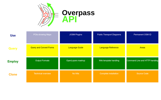
Screenshot:
Slug: overpass-api
Key:
Base URL:
Auth: none
Endpoints: 2
Reachable: yes
CORS: unknown
Tier: verified
Last checked: 2026-03-14 16:08:57.263194
Key:
overpass-api.de:openstreetmap-overpass-apiBase URL:
https://overpass-api.de/api/interpreterAuth: none
Endpoints: 2
Reachable: yes
CORS: unknown
Tier: verified
Last checked: 2026-03-14 16:08:57.263194
Links
Documentation:
Topics
Endpoints (2)
| Path | Summary | Response | Auth |
|---|---|---|---|
| interpreter | Execute Overpass QL query (GET) | text/html |
none |
| map?bbox={min_lon},{min_lat},{max_lon},{max_lat} | Get map data by bounding box | ? |
none |